Youtube Video: Taking A 14 Mile Round-Trip Hike To Alamere Falls On The Point Reyes National Seashore
In this week’s Introverted Travels youtube update, I take a nice long hike to Alamere Falls on the Point Reyes National Seashore. This waterfall is unique in that it is one of only two in California that flow directly into the Pacific Ocean.
Along the way I encounter bunnies, coyote pups, anxious sea gulls, and way too many hiking tourists.

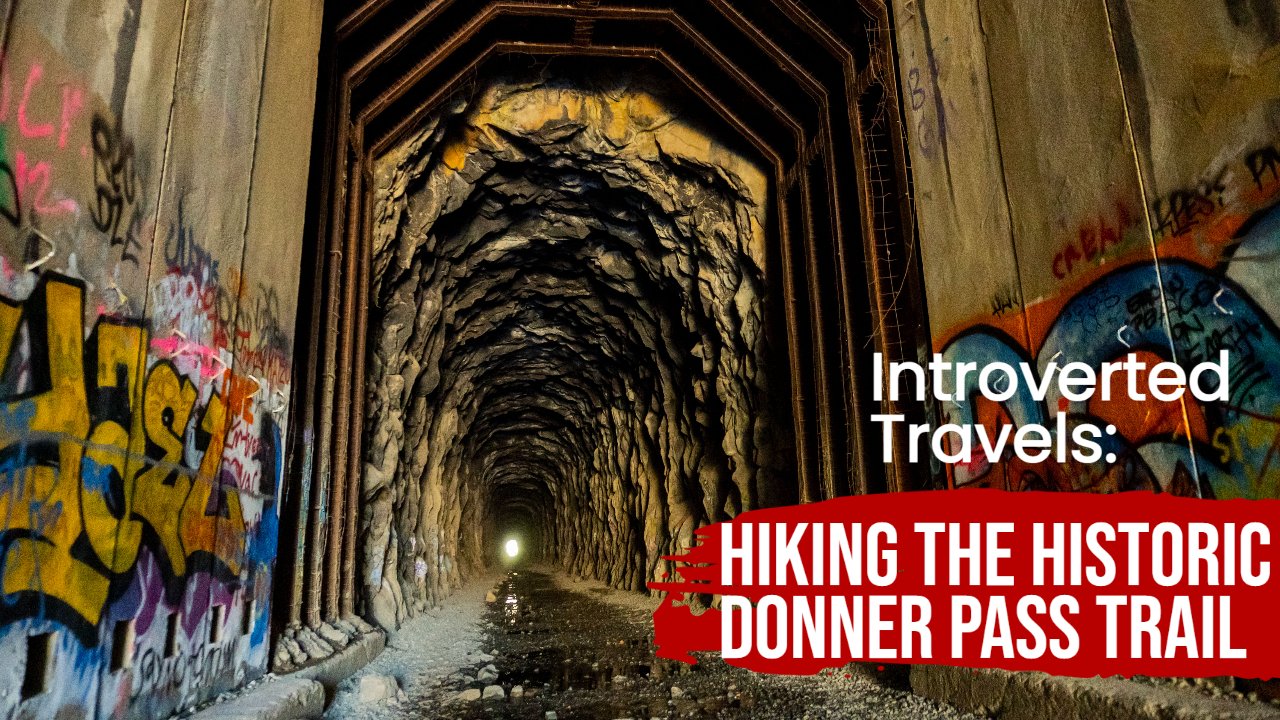
Youtube Video - Introverted Travels: Hiking The Historic Donner Pass Trail
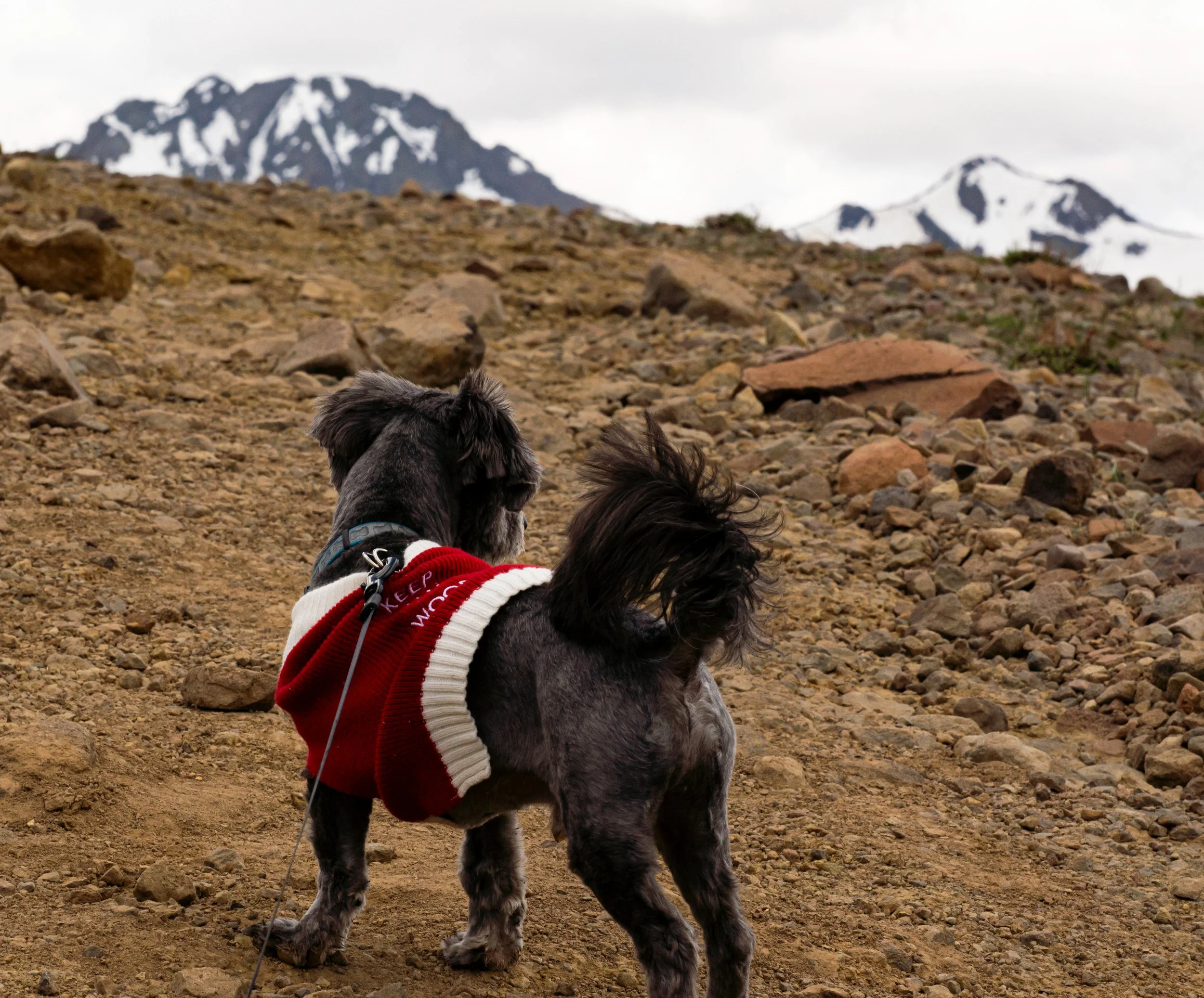
For my latest Youtube effort, the dog and I hiked the Historic Donner Pass Trail. This path starts near Sugar Bowl ski resort (I left my car in the big dirt parking lot right near the front), makes its way through the historic Donner Tunnels (more on this in a minute), and then up the side of Mount Judah before looping back again.
The highlight of this hike is easily the tunnels themselves. Currently owned and managed by Union Pacific, they were once part of the Transcontinental Railroad. For those of you who may not know, this was a rail line constructed in the 1860s that ran continuously from San Francisco to Council Bluffs, Iowa, with connections to the east coast beyond. When completed, it replaced the old system of slow wagon trails that took over a hundred perilous days to traverse and complete (Read Roughing It, by Mark Twain, for a more detailed description of this journey). At the time, the railroad was revolutionary, as it allowed people to travel from one side of the country to the other in less than a week.

YouTube Video: Hiking The Pacific Crest Trail Via The Bridge Of The Gods!
I’m still getting the hang of uploading Youtube videos and promoting them, so I will once again use this blog as an advertisement tool. I was in Oregon for a week and a half, and got the chance to visit the Bridge of the Gods in Cascade Locks, walk across it, and hike the Pacific Crest Trail into the forests of Washington. I brought along my new GoPro, and attempted to make a blog that at least one or two people will watch for more than 37 seconds. I’m not sure I succeeded, but here are the fruits of my labor…

Hiking The Marin Headlands
I recently took a trip to the Marin Headlands, in the bay area of Northern California, and I brought along my new GoPro Hero 10. So instead of writing a long blog post that few people will actually read, I decided to make a long video that few people will actually watch.

A Road Trip Up Highway 4 To Ebbets Pass National Scenic Byway - Part Two: The Single Lane Highway At An Elevation Of 8000 FT.
Moving past Calaveras Big Trees State Park and further up Highway 4, I wasn’t really sure what to expect. I knew that the road would eventually become Ebbetts Pass National Scenic Byway, and that we were in for some decent views. I had managed to gleam this much information off the glowing review that my older brother, who is an avid camper, hiker, and all around back-road traveler, had sent to me over text. He had gone through the area several years earlier, and swore up and down it was absolutely gorgeous. And when we finally reached the first vista point, I became completely convinced that he was right.

A Road Trip Up Highway 4 To Ebbet’s Pass National Scenic Byway - Part One: Calaveras Big Trees State Park
The trip up Highway 4 started the same way that almost all of my semi-local trips do: Late, and practically mid-morning. Despite my best efforts, and regardless of how early I actually wake up, I never seem capable of getting myself ready, my car packed, my dog ready, and my wife up and ready before the sun is high in the sky and the rest of the world is also starting to get up. Needless to say, we departed around 9:30 am, when the Saturday morning traffic was still relatively light, but not as wonderfully barren as it probably was three hours earlier.

I’m Dying On The Inside: Anxiety, Self-Doubt, And Self-Loathing In Amateur Photography
It is late Saturday evening and I’ve just gotten home from a ten-hour road trip up Highway 4 in the Sierra Nevada. The day was long but fruitful. My camera’s memory card is full of new images to process, and I am now assured to have another week’s worth of Instagram (IG) “daily updates” to share with the handful of people who actually view and enjoy my posts. Im tired, probably a little cranky, and ready to unwind for the day. But there’s work to do, and I have yet to edit a photo for tonight’s IG post.
I could upload the batch of photos I just took, but they’re still downloading to the computer, and I know I have other sets that are ready for editing. Opening up my photo file, I quickly locate the sub-folder containing my newest insect macros. I have been holding on to these for two weeks, keeping them on the back burner while pushing ahead with more travel oriented posts. I always try to leave at least one set for when my overall quantity of unpublished photos gets low, and I just didn’t feel justified in posting yet more bugs

The Pacific Crest Trail: The Path That Runs Through My Heart
The Pacific Crest Trail (known as the PCT to anyone who is hip and cool), is, as of late, a tragic story. Running from US/Mexico border through California, Oregon, and Washington, and ending near the US/Canada border, this trail has long been a focus for endurance athletes. And this focus is understandable, since the path takes hikers and runners through deserts and mountains, into multiple national parks, and past spectacular volcanos. It truly is something special, and every year hundreds of people set out to trek its 2,653 miles (Damn, trail be looonnnggg!).
But then we have the fact that, as a collective, the human species really is terrible. In 2021 (last year), the enormous Dixie Fire in California, which also raged through about 60% of Lassen Volcanic National Park, disseminated about eighty miles of vegetation and landscape along the trail’s route. And this wasn’t the first time that wildfire, drought, and other human-induced-climate-change-related crisis (say that five times fast, without the hyphens) has had an impact on the PCT. (Read more about this in this excellent SFGate article).

I Was So Busy Launching The Site, I Forgot To Title This Blog Post…
My site, travelintroverted.com, is officially opening tonight (6/7/2022). The reality, of course, is I published the page a couple of days ago, but I’m finally getting around to doing the final required editing, and generally making it presentable for the general public.
My current plan is to market this via my Instagram account, which in turn will allow the flood gates open to the four or five people who might trickle over to see what all the fuss is about. I’m certainly not expecting instant success, nor am I predicting this will become anything other than a personal blog where I post pretty images and talk about my travels. If for some reason it grows an audience, I will certainly be surprised. But I figure the universe owes me one, so maybe luck will finally be with me.

Bumbling My Way Through Macro Photography - Lighting Edition
For those of you who aren’t familiar, macro photography is the art of capturing the small. I could attempt to detail this craft is precise, technical terms, but I’d rather just steal stuff from Wikipedia and use that as an explanation:

The Introduction of a Lifetime?
Hello, and welcome to my new blog, The Introverted Traveler. For those of you (I’m assuming most of you) who have no idea who I am and have either stumbled across this blog because you accidently clicked on the wrong link in a Google search, or because you were casually viewing my content on Instagram and figured you had a few minutes to spare and nothing better to do, my name is Steve. I’m a middle-aged and relatively boring guy from the Sacramento area in Northern California (for now). I’m also an amateur photographer, vlogger (sometimes), and traveler.
